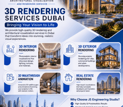
3D Architectural Visualization for Transforming Urban Development in Future Cities
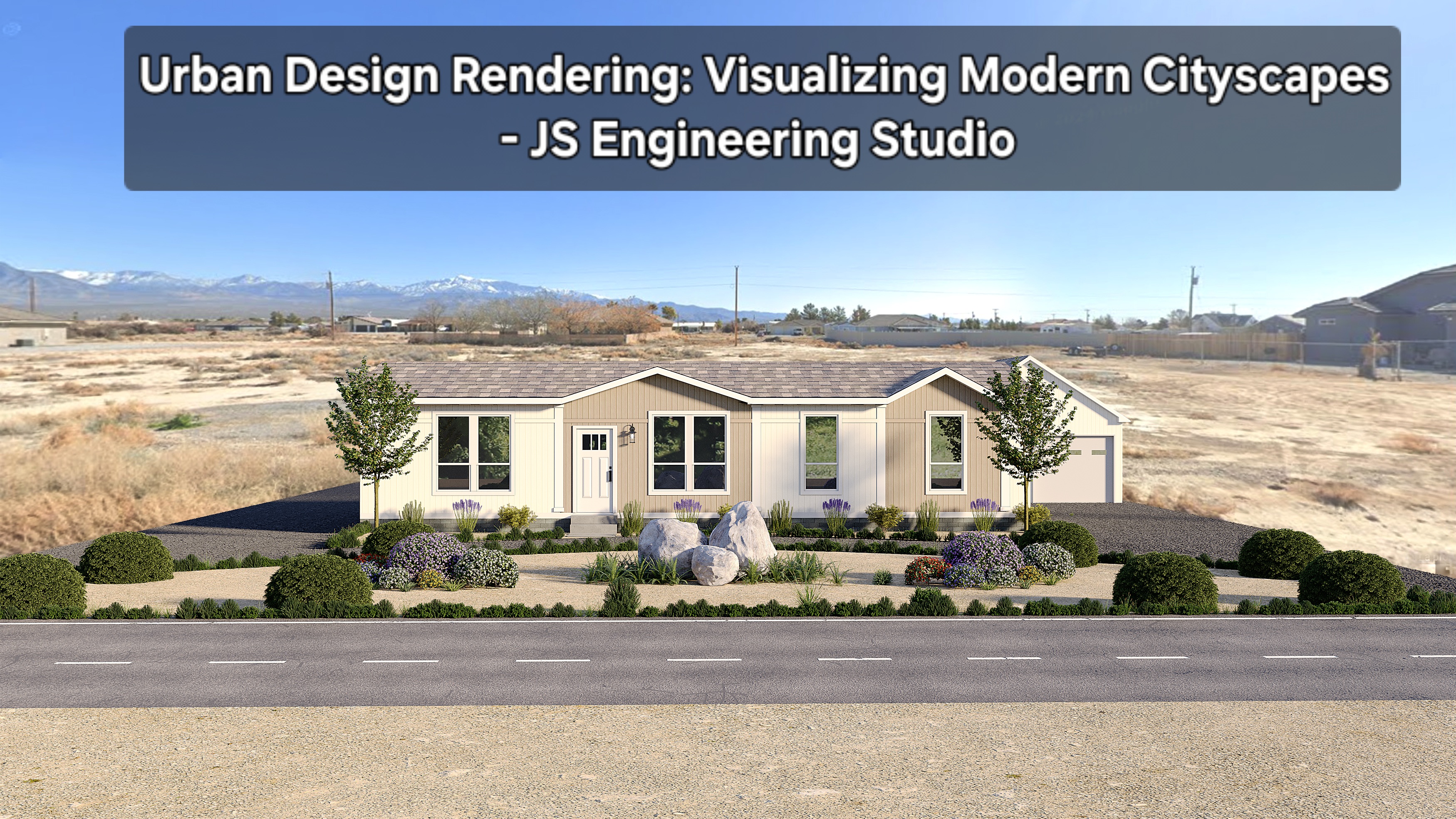
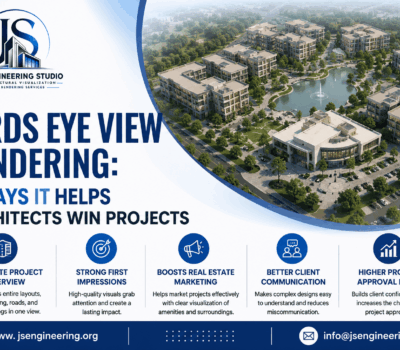
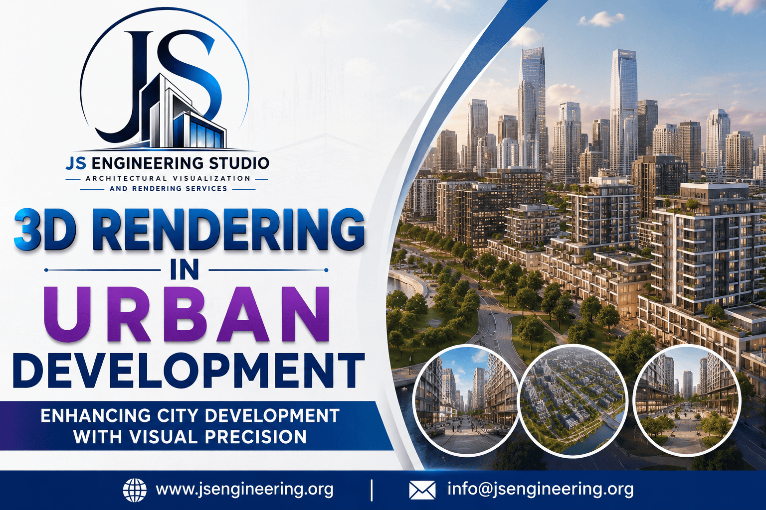
3D rendering is essential in contemporary urban development as it offers intricate visual representations of proposed projects, allowing urban planners to evaluate design effects, replicate real-world scenarios, and foster collaboration.
In today’s rapidly urbanizing world, city planning and development demand precision, foresight, and stakeholder collaboration. 3D rendering technology has emerged as a powerful tool in urban development, revolutionizing how architects, planners, developers, and city officials visualize, communicate, and execute urban transformation.
![]()
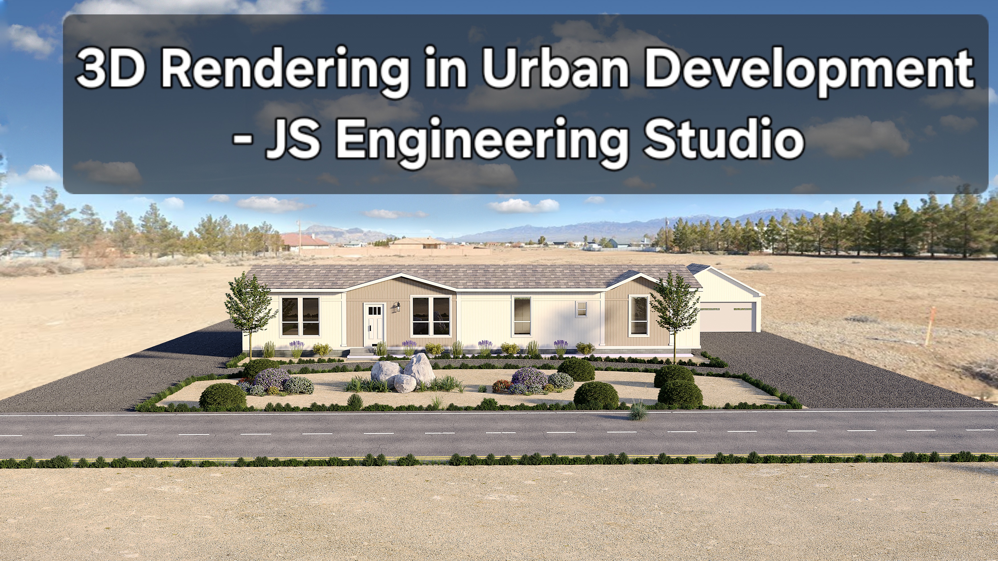
![]() These visualizations not only increase the efficiency of project approvals and minimize unexpected issues but also support environmental assessments, encourage public involvement, and aid in risk management.
These visualizations not only increase the efficiency of project approvals and minimize unexpected issues but also support environmental assessments, encourage public involvement, and aid in risk management.