Why Aerial View Rendering for Large Developments Is Essential for Modern Architecture – JS Engineering Studio
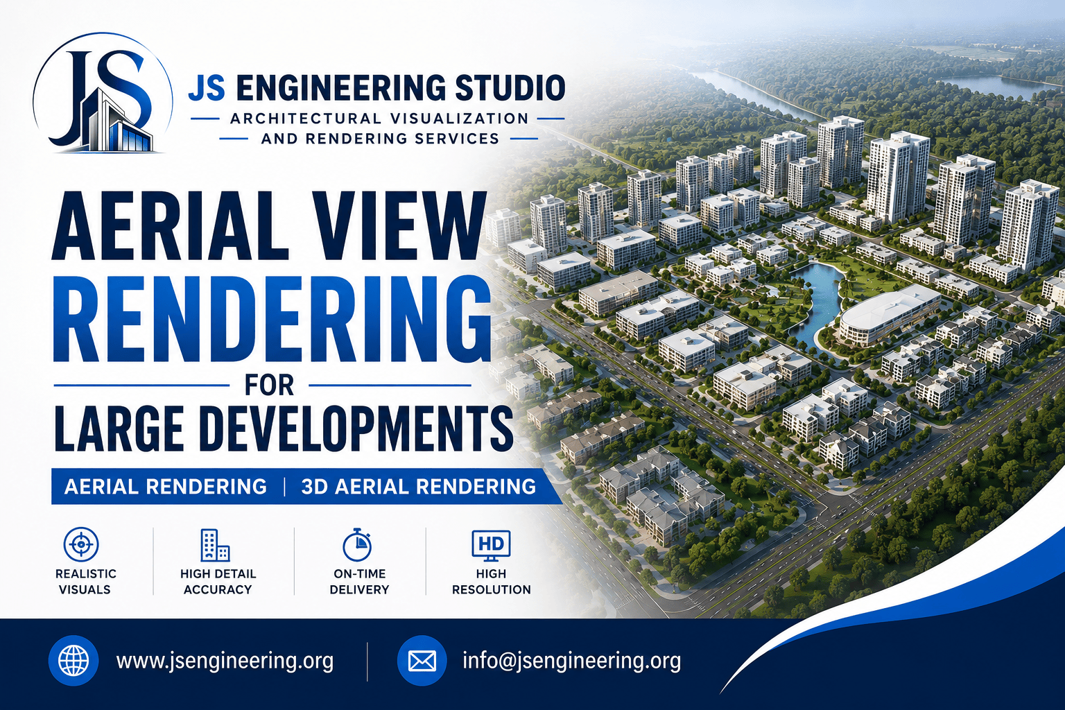
Large-scale residential, commercial, and mixed-use projects require a clear visual presentation before construction begins. Aerial View Rendering for Large Developments has become one of the most effective ways for architects, developers, and investors to understand the complete layout of a project. Whether showcasing a township, business park, residential community, or master-planned development, aerial visualization provides a realistic perspective that traditional drawings simply cannot achieve.
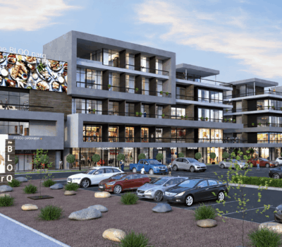
At JS Engineering Studio, we specialize in premium Aerial Rendering and 3D Aerial Rendering services that help clients present their developments with exceptional detail and accuracy. Our renderings highlight building layouts, landscaping, roads, parking areas, green spaces, and surrounding infrastructure, making it easier to communicate your vision to stakeholders and potential buyers.
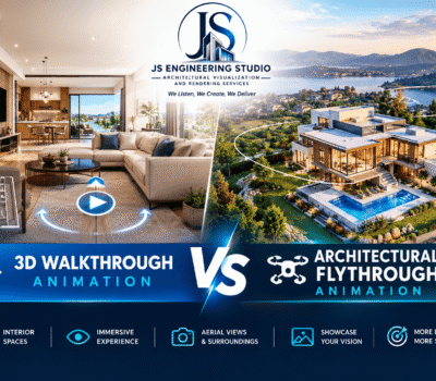
Aerial 3D rendering services will enhance the visibility of your listings, presentations, and social media presence. Below are the three key pillars of this influence.
Related post : Bird eye view Rendering Essentials for Architecture Projects
Why Aerial View Rendering Gives Large Developments a Competitive Advantage
For projects covering several acres, a ground-level visualization often fails to capture the overall design. Aerial View Rendering for Large Developments provides a complete bird’s-eye perspective that allows everyone involved in the project to understand how different elements work together.
Professional Aerial Rendering helps developers showcase the relationship between buildings, open spaces, transportation networks, and community amenities. It also becomes an effective marketing tool for brochures, investor presentations, planning approvals, websites, and social media campaigns.
With advanced 3D Aerial Rendering, every aspect of the project is presented in realistic lighting, materials, vegetation, and environmental context. Buyers can easily visualize the final outcome long before construction begins, increasing confidence and improving project sales.
At JS Engineering Studio, every rendering is created using architectural CAD drawings, master plans, GIS references, and site information to ensure maximum accuracy. Our experienced visualization artists focus on realistic textures, natural lighting, detailed landscaping, and high-resolution outputs suitable for both digital and print marketing.
Our Aerial View Rendering for Large Developments is ideal for:
- Residential Townships
- Apartment Complexes
- Commercial Developments
- Mixed-Use Communities
- Industrial Parks
- Educational Campuses
- Healthcare Facilities
- Resort Projects
- Smart City Developments
- Urban Planning Projects
Using high-quality Aerial Rendering, project teams can identify planning opportunities, improve presentations, and communicate complex designs with clarity. Investors gain a better understanding of the project’s scale, while planning authorities can review layouts more efficiently.
Related Post : Comparison for Eye-Level vs Aerial View Rendering
Our 3D Aerial Rendering services also include customizable viewpoints, daylight and sunset scenes, seasonal landscaping, and ultra-high-resolution outputs suitable for websites, exhibitions, and advertising campaigns.
When you partner with JS Engineering Studio, you receive visually compelling renderings that strengthen your marketing strategy and help secure approvals, attract investors, and increase buyer confidence. Our commitment to quality, timely delivery, and attention to detail has made us a trusted partner for architectural visualization projects across the USA and internationally.
If your architectural or real estate firm does not frequently require aerial renderings, it is generally more advantageous to contract the project to a specialized 3D Rendering Studio instead of attempting to learn the process independently.
If your goal is to showcase a large-scale development in the most professional way possible, our Aerial View Rendering for Large Developments solutions deliver the perfect combination of realism, precision, and visual impact.
We are delighted to provide our support! We understand that you may have questions concerning 3D visualization. Please feel free to contact us. email us at info@jsengineering.org. Our response time is within 24 hours on business days.
Frequently Asked Questions (FAQ)
1. What is Aerial View Rendering for Large Developments?
It is a high-quality 3D visualization that presents an entire development project from an elevated perspective, allowing viewers to understand the complete site layout before construction begins.
2. What is the difference between Aerial Rendering and 3D Aerial Rendering?
Aerial Rendering refers to visualizing a project from above, while 3D Aerial Rendering adds realistic lighting, textures, landscaping, and environmental details for a lifelike presentation.
3. Who needs Aerial View Rendering?
Architects, real estate developers, builders, urban planners, municipalities, and commercial property developers frequently use these renderings for marketing, planning, and investor presentations.
4. Why choose JS Engineering Studio?
JS Engineering Studio provides high-quality architectural visualization with realistic detailing, quick turnaround times, experienced artists, and customized rendering solutions for projects of every scale.
5. Can aerial renderings be used for marketing?
Yes. They are widely used in brochures, websites, social media, investor presentations, planning submissions, and real estate advertising to showcase projects effectively.